 C-TRACK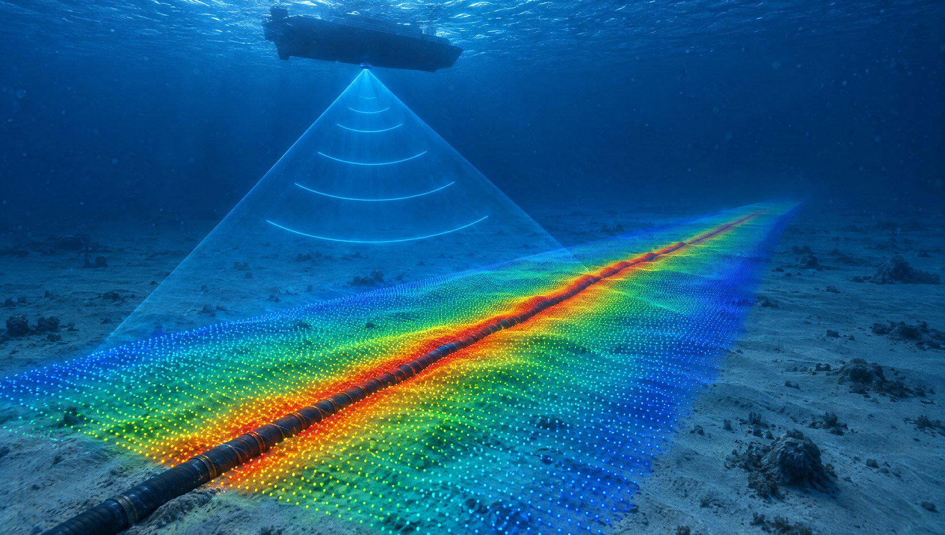
01
Hydrographic and bathymetric survey
Multibeam and single-beam bathymetry for ports, channels, dredging and offshore sites, reduced to the datum you specify.
C-TRACK · Marine and subsea
Survey, positioning and ROV inspection for offshore energy, ports and marine construction.
Right the first time.
Calibrated kit, checked on board, every shift. No rework. No second campaign.
One team. One datum.
From the deepwater route to the beach landing, every dataset ties to the same reference.
Every inch, measured.
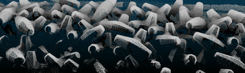
High resolution sonar maps the seabed and the cable in one sweep.
Eyes on every metre.
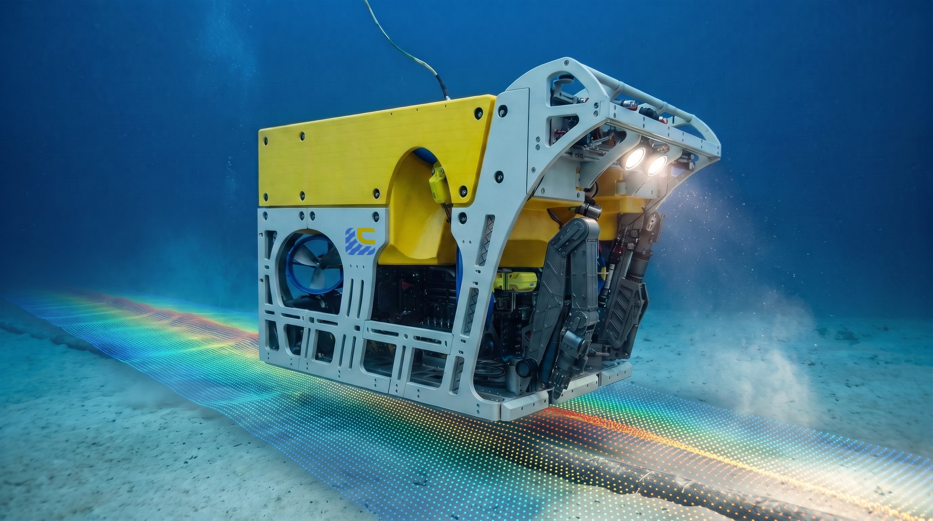
ROV inspection for pipelines, cables and subsea structures.
Below the seabed.
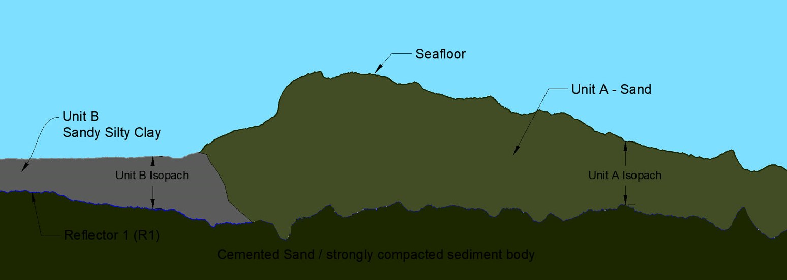
Sub-bottom profiling and geotechnical sampling characterise the ground before you build on it.
Survey data your engineers can build on, delivered on time, in the formats they already use.
C-TRACK · Marine and subsea
Surface to subsea.
Survey, positioning and ROV inspection for offshore energy, ports and marine construction. Right the first time.
Plan your survey(01) Services
Seven disciplines. One crew list. One set of deliverables.
01
Multibeam and single-beam bathymetry for ports, channels, dredging and offshore sites, reduced to the datum you specify.
02
Side-scan sonar and sub-bottom profiling with sparker and boomer, so you know what is under the seabed before you design on it.
03
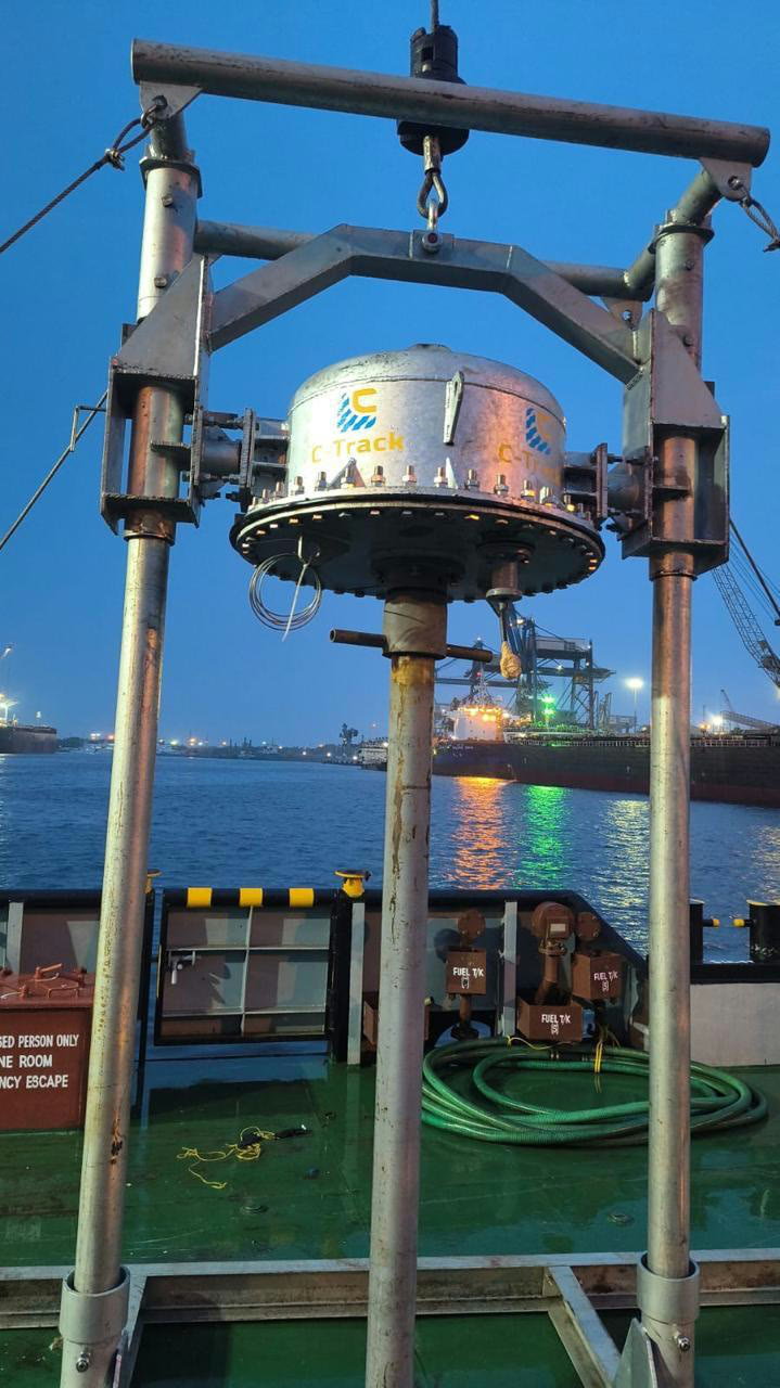
Vessel positioning and subsea navigation using Precise Point Positioning (PPP) for pipelay, cable lay and offshore installation.
04
ROV surveys of pipelines, cables and subsea structures, with video and sonar data in one report.
05
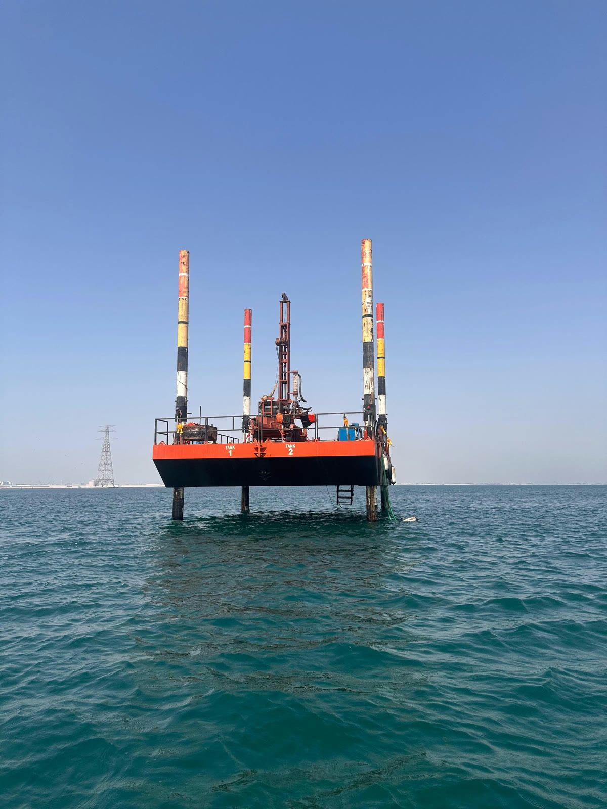
Seabed samples from vessels and jack-ups, lab tested and tied into the geophysical results.
06
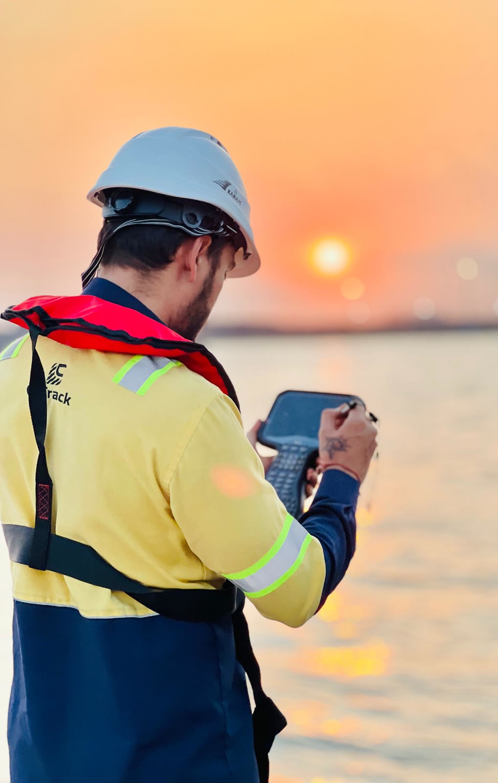
Vehicle and drone LiDAR, photogrammetry and topographic survey for beaches, landfalls and onshore sites.
07
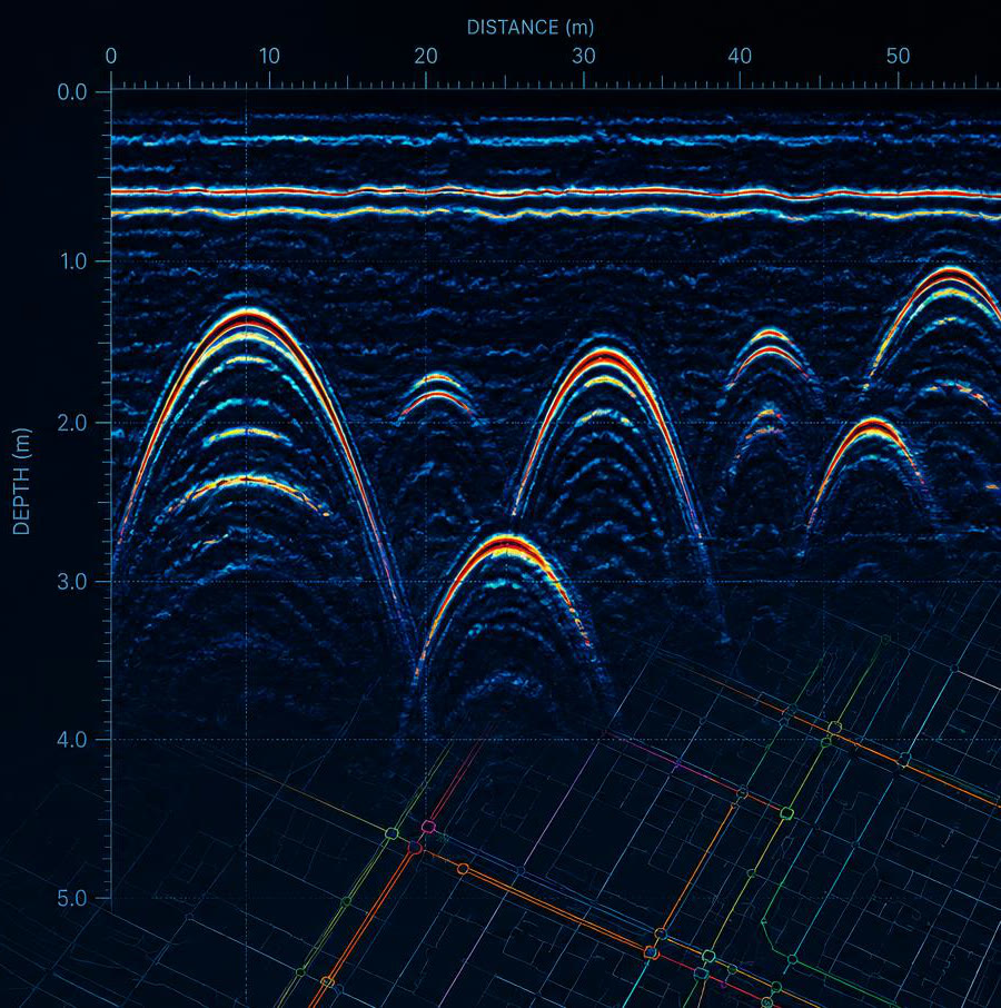
Ground-penetrating radar and land geophysics to find buried services before you dig.
(02) Industries
The same crews and the same standards, from wind farm export cables to harbour berths.
01
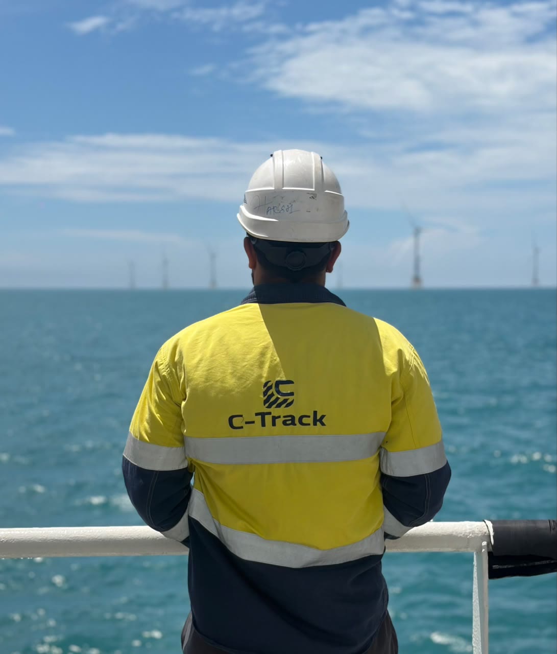
Site investigation, cable route survey, installation support and as-built checks for export and array cables.
02
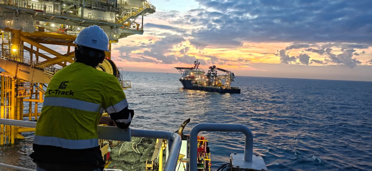
Pipeline route surveys, construction positioning and integrity inspection.
03
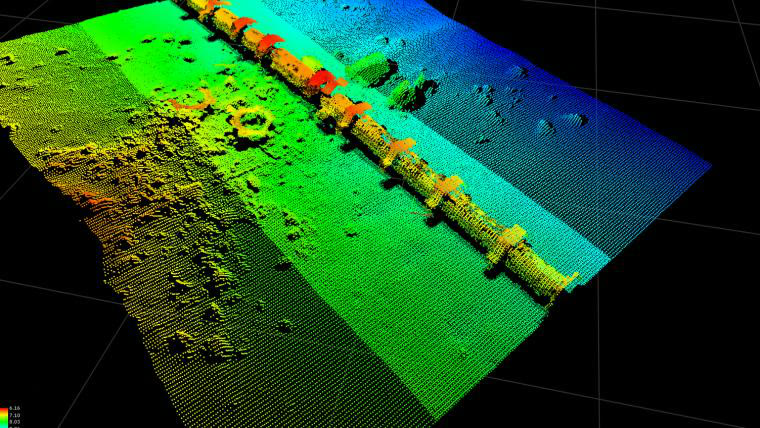
Route, pre-lay, as-laid and as-built surveys along the whole corridor.
04
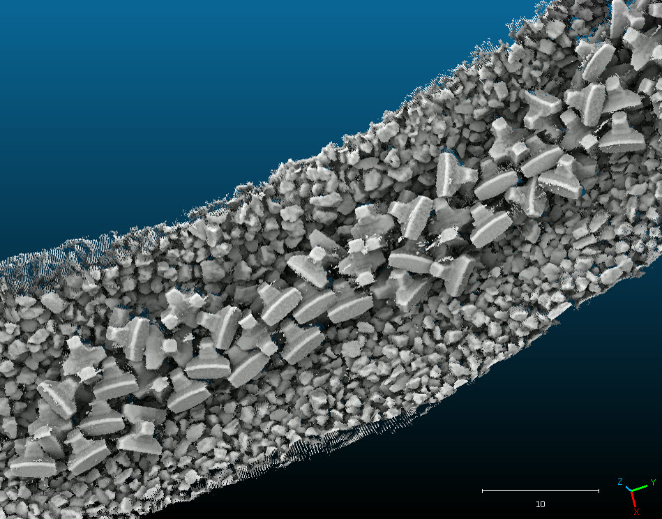
Berth pocket and channel surveys, and 3D scans of quay walls, breakwaters and jetties.
05
Pre- and post-dredge surveys with volume calculations, turned around fast.
06
Outfalls, intakes, landfalls and buried-service mapping for civil contractors.
(03) The data
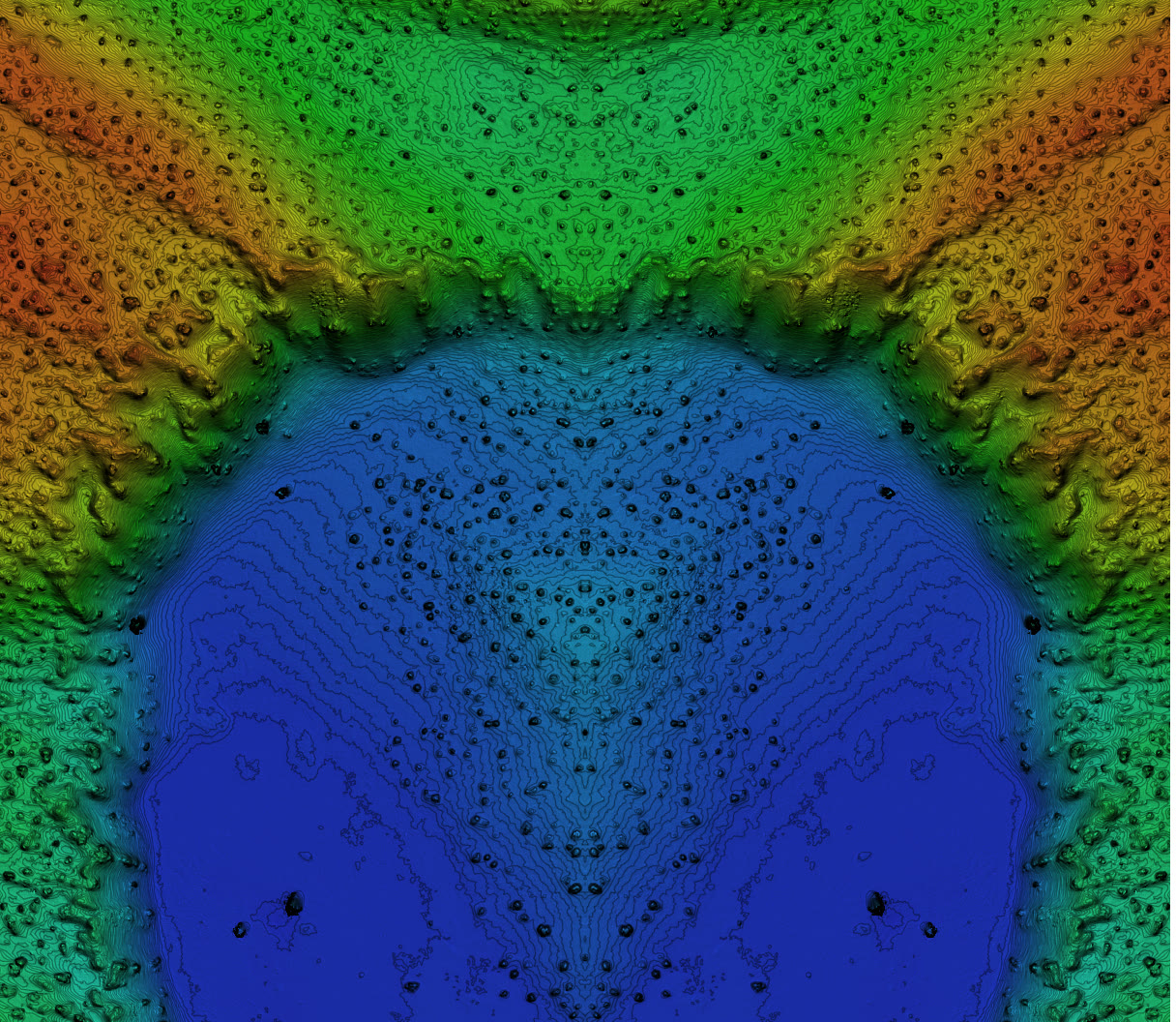
Every colour is a measured depth. Blue is deep, orange is shallow.
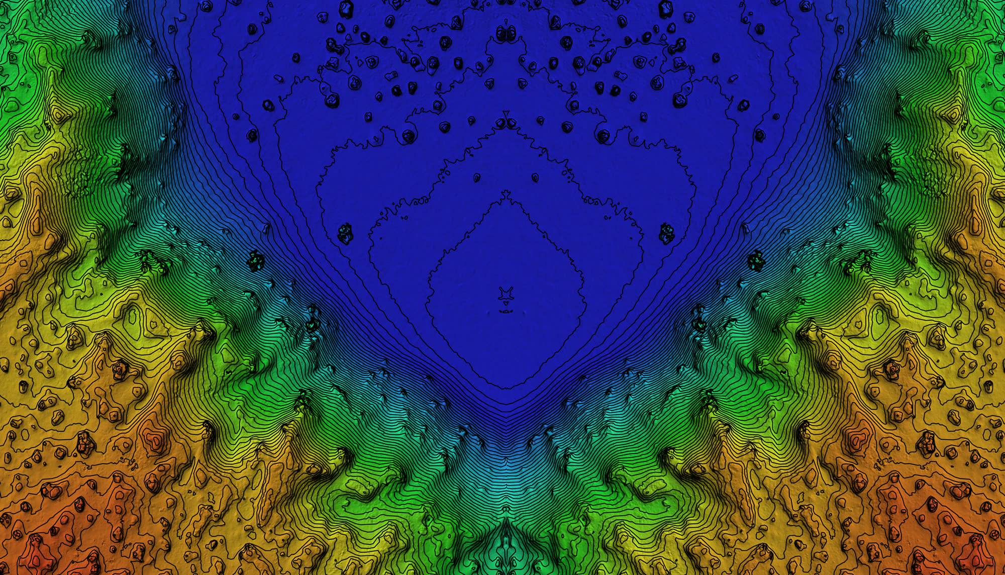
Press and hold the button, or hold Space or Enter. Let go early and the sweep eases back. Press again when it finishes to run it once more.
(04) Landfalls
Boats survey at high tide. LiDAR drives and flies at low tide. Every platform runs RTK to the same base station, so you get one continuous surface from the deepwater approach to the landing point.
Nearshore to about 3 m depth. Full seabed coverage.
Very shallow and surf-affected water, down to 0.5 m.
Intertidal flats, beach and dunes at low tide.
Soft sediment, mangrove and closed-off landings.
Typical 1-sigma accuracy in good conditions, confirmed by calibration and check lines on every job.
(05) Method
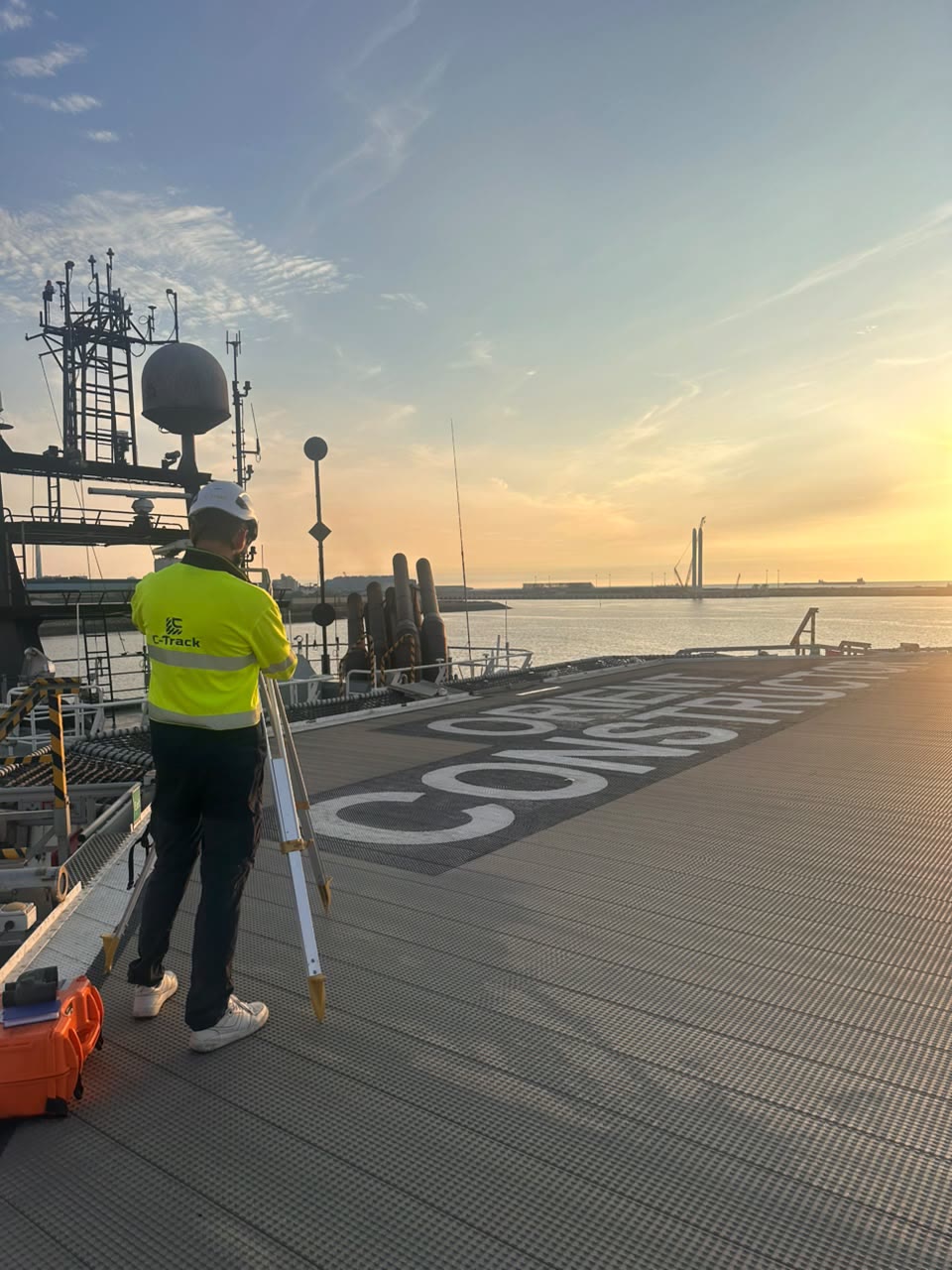
We write the survey plan and method statement against your spec, and agree the datum before anyone sails.
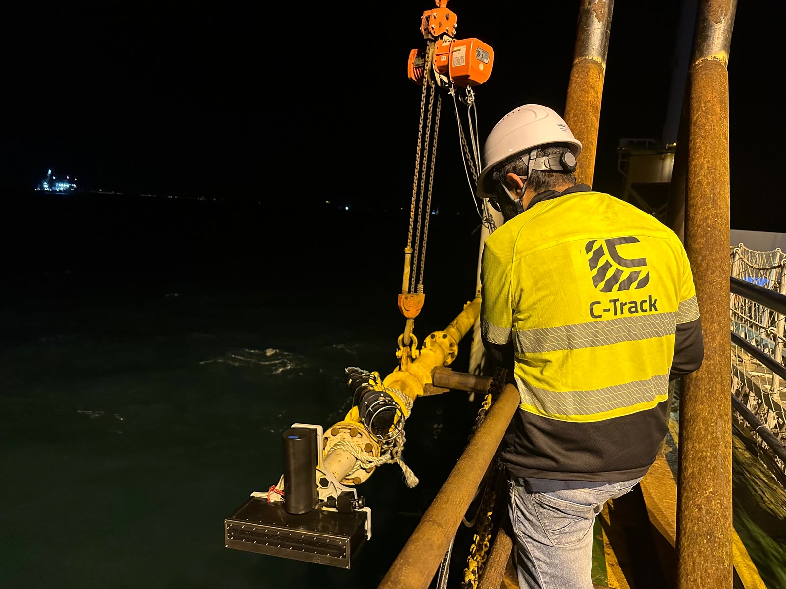
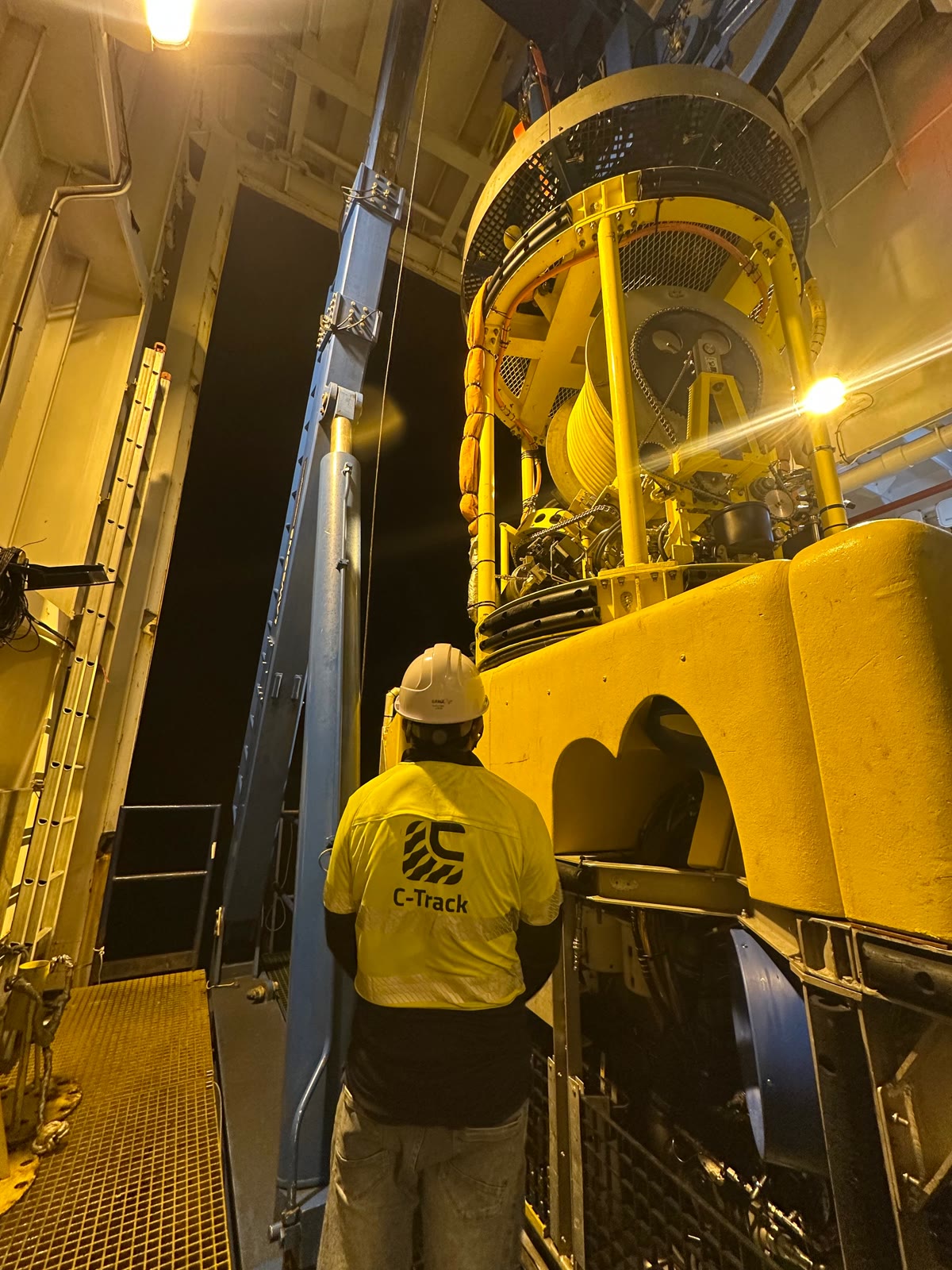
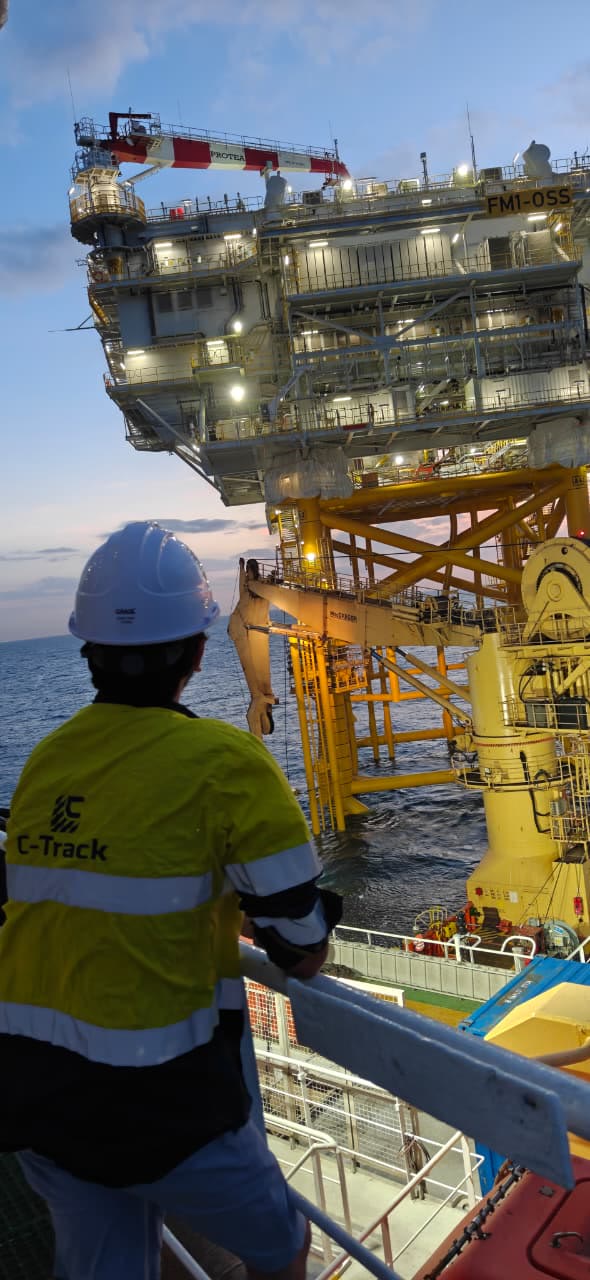
Our own calibrated equipment, and crews inducted to your HSE rules. Offshore crews hold BOSIET and HUET.
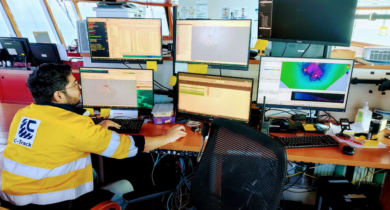
Data is checked on board as it comes in, and you get a progress report every day.
Processed data, charts and reports in your formats, with the calibration and QC records attached.
Based in Navi Mumbai and Dubai. Working across the Middle East, South and Southeast Asia, and Africa.
(06) Hire survey boat
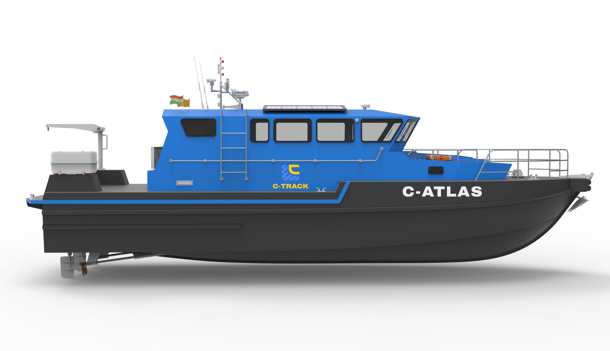
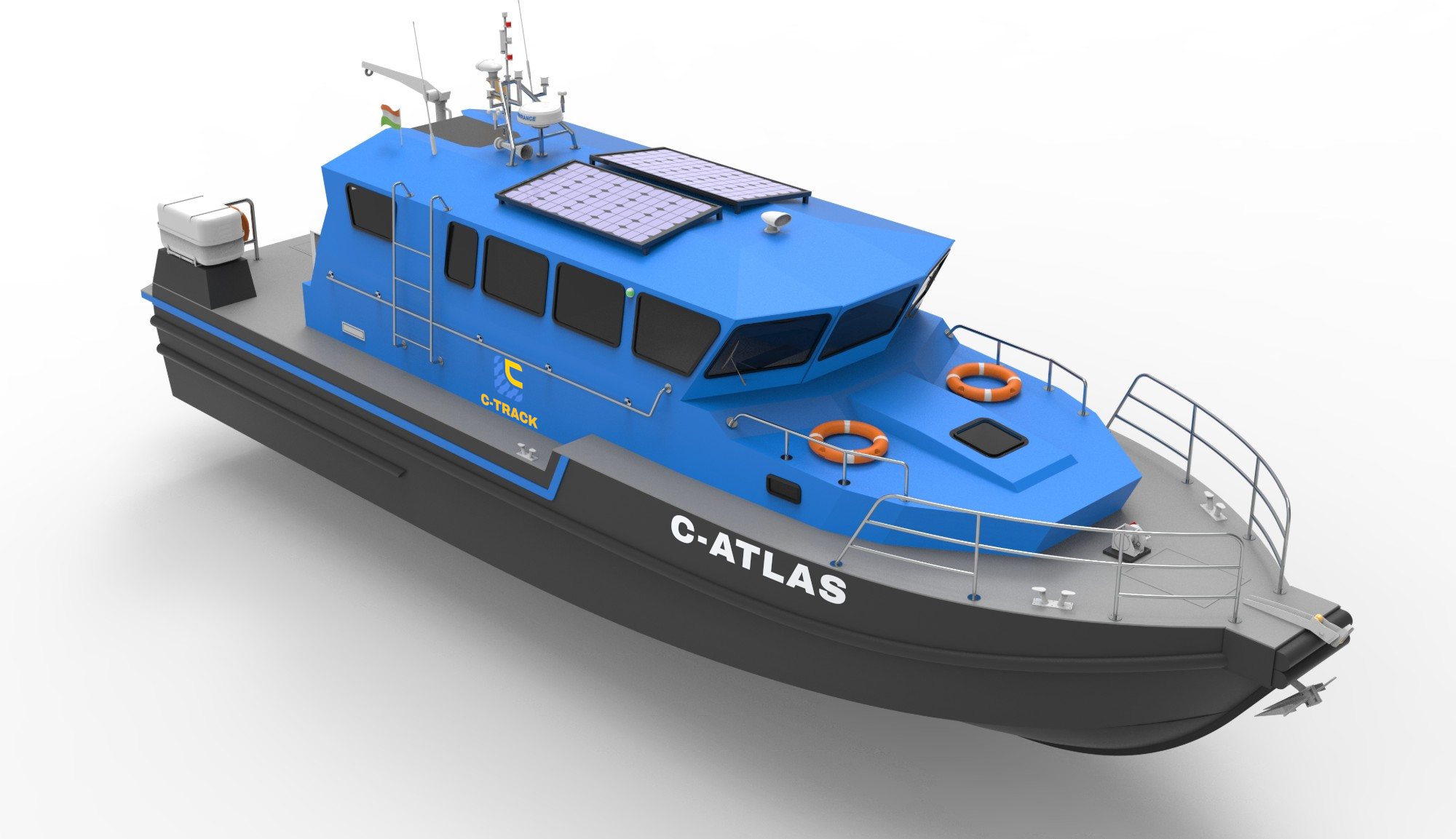
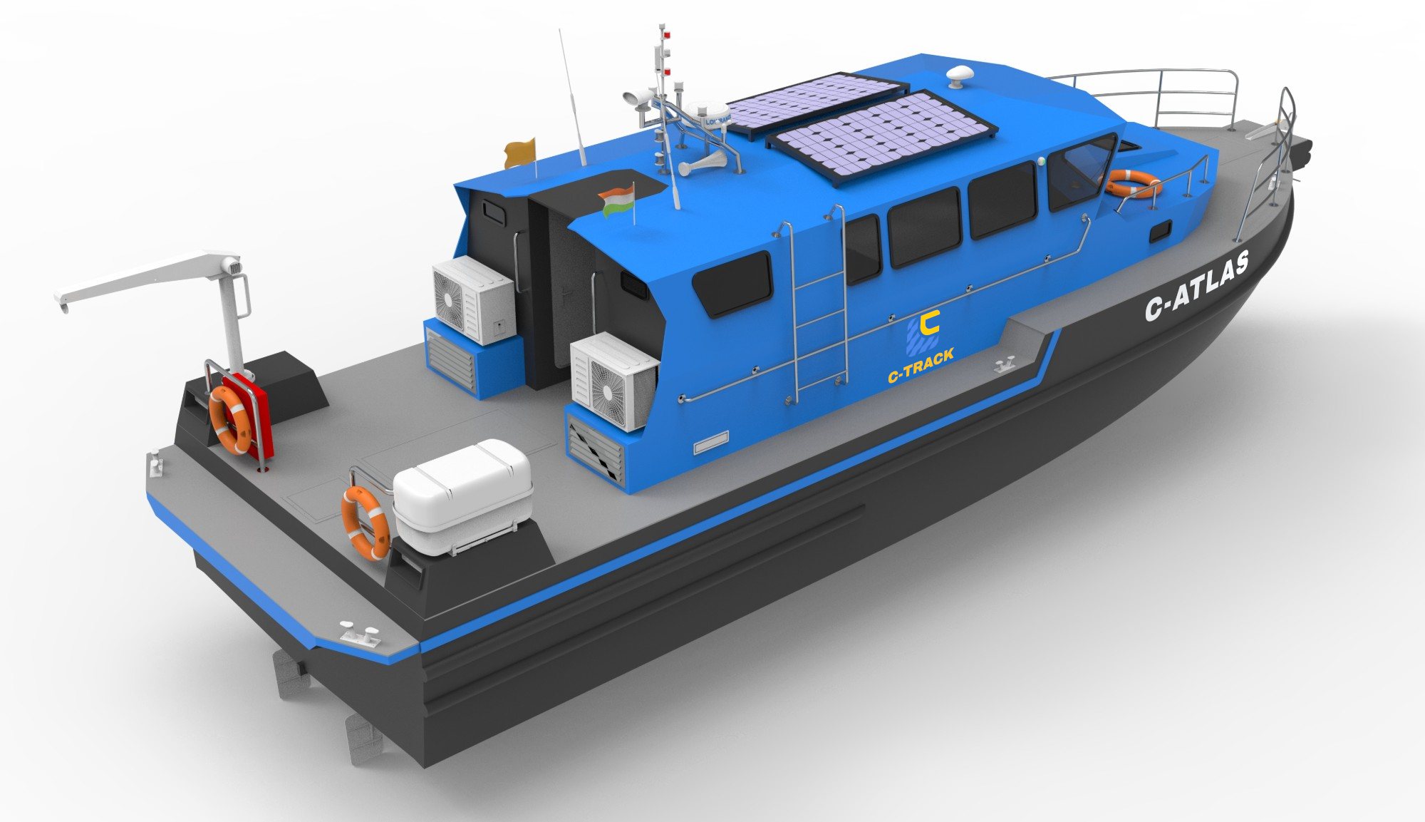
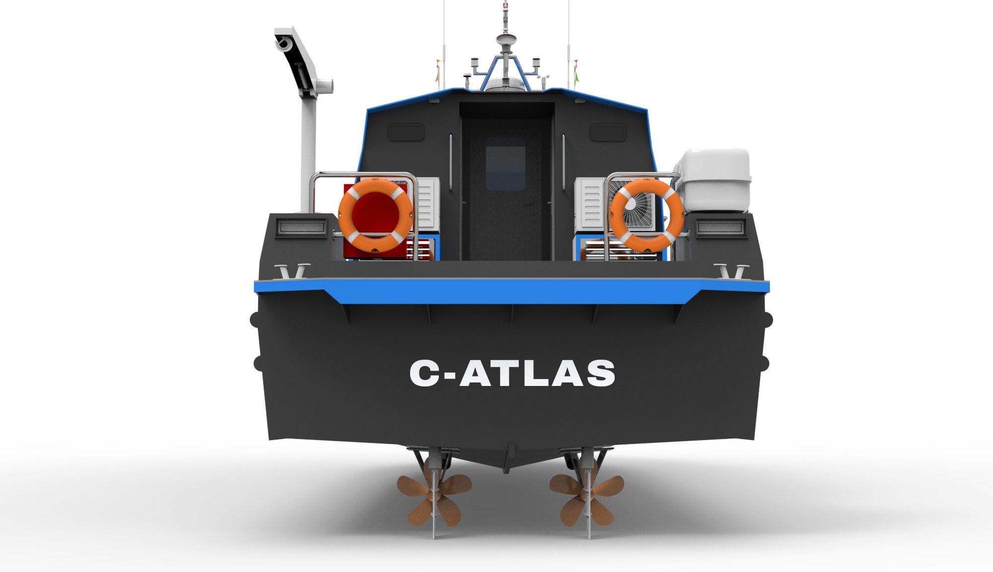
Our purpose-built survey vessel for coastal and nearshore hydrographic, geophysical and geotechnical work. Available to hire for your project.

01
Multibeam, singlebeam and sub-bottom profilers go down through the hull, sheltered from the sea state.
02
An indoor survey desk with four 21-inch HD monitors for acquisition, navigation and QC, plus a dedicated IT rack for the electronics.
03
Controlled launch and recovery of survey sensors, sound velocity profilers and sampling gear.
04
A 10 kW Mitsubishi marine generator and 550 W of solar run the survey electronics independently of the main engines.
05
A 4.5 m beam on a 14.9 m hull gives a wide working deck and low motion, which keeps MBES and SBP data clean.
06
Chart plotter, AIS Class B and VHF radio for safe transits, vessel tracking and station keeping.
07
Bunk beds for four crew, seating for 8 to 10, a pantry, and a toilet with shower for longer campaigns.
08
A 12-person liferaft, lifebuoys, a fire station on deck and AIS Class B tracking.
Optional
C-ATLAS can come pre-calibrated and fully loaded with a hydrographic survey spread, ready to mobilise. Other sensors are integrated on request.
(07) FAQ
Yes. Our survey equipment is owned, calibrated and ready to ship. The kit that arrives on your vessel is the kit we tested.
It depends on location and scope, but owned equipment and an experienced crew pool let us move at the pace EPCIC projects need. Tell us your window and we will give you a straight answer.
IHO S-44 for hydrography, IMCA M 200 and M 252 for marine survey, and ASPRS and USGS specs for LiDAR. Our management system is aligned to ISO 9001, 14001 and 45001.
Yes. That is the job we are built for. Boat, vehicle and drone platforms all tie to the same RTK base, so your corridor arrives as one dataset, not four.
XYZ and DTM grids, LAS and LAZ point clouds, orthomosaics, AutoCAD and GIS charts, alignment sheets and KP profiles, plus the factual and interpretive report.
Yes. Offshore personnel hold BOSIET and HUET where the job needs it, and every crew is inducted to your HSE requirements.
(08) Plan your survey
Send us the location, the scope and your dates. We will come back with a method and a price.
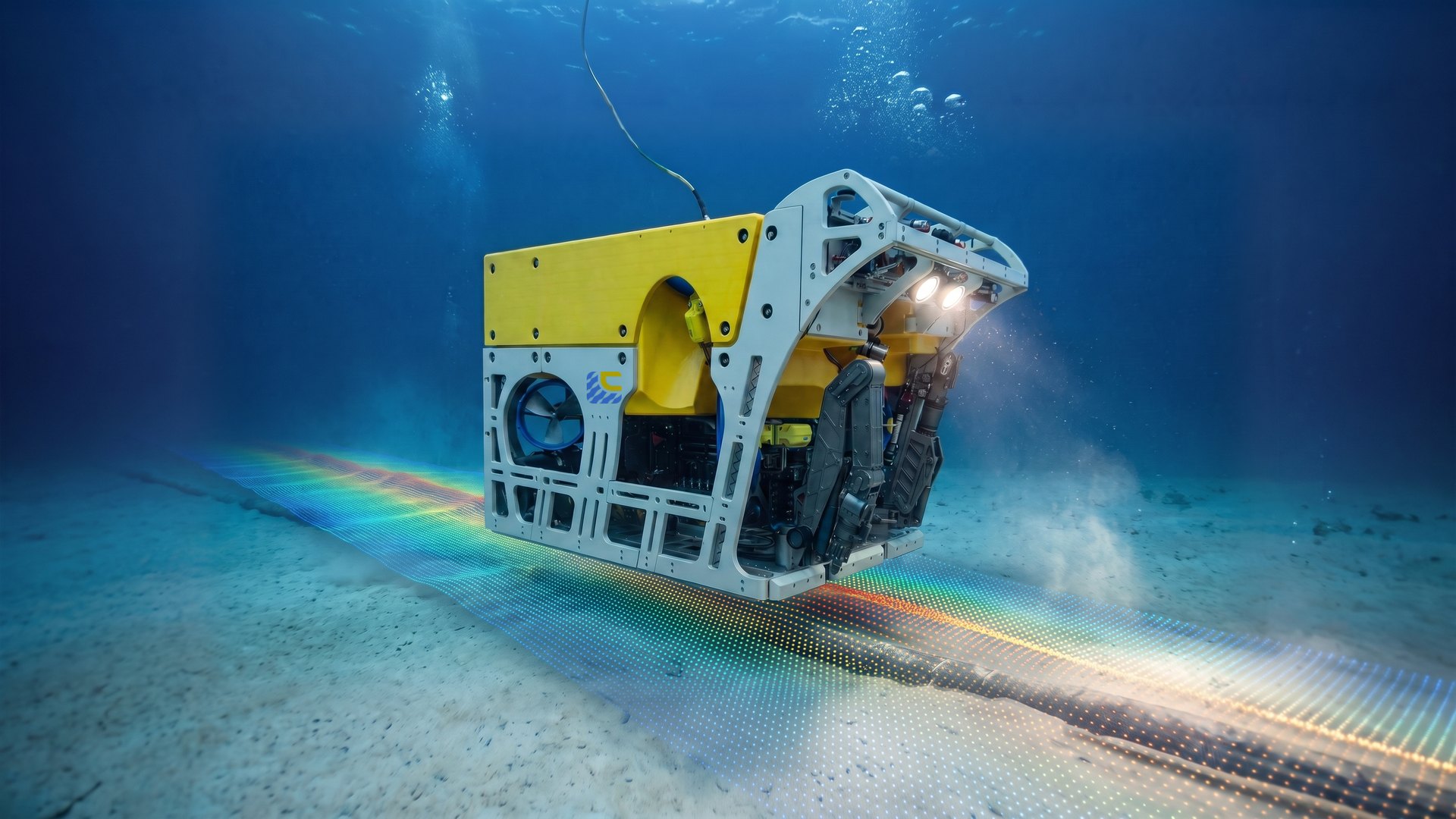 ROV inspection · subsea cable